Cooperation Monitoring Atmosphere 
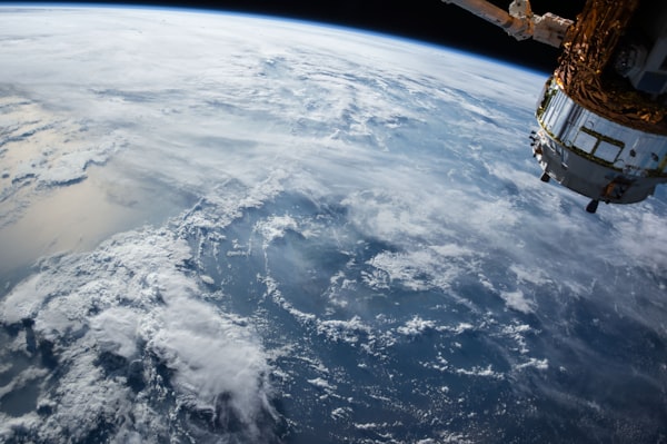
Satellite data provides an opportunity to monitor the atmosphere. One satellite suitable for monitoring is Copernicus Sentinel-5P. This satellite enables atmospheric measurements and to map gases such as nitrogen dioxide,
News Terramonitor Web Store Press release, May 28 2020 Terramonitor launches a Web Store that provides easy access to analysis-ready satellite images and up-to-date satellite maps. By processing thousands of satellite images per day
Earth observation Cloud vs. Snow Clouds are always challenging in remote sensing unless you are especially interested in clouds and want them to appear in your satellite imagery. How about snow? It is also white
Forestry Errors related to the automatized satellite-based change detection of boreal forests in Finland Terramonitor took part in a Finnish government head project related to detecting changes in boreal forests during 2016-2019. Time series change detection.The project was executed by Teknologian tutkimuskeskus VTT
GIS A practical comparison of GeoTIFF compression algorithms Not all GeoTIFFs are alike. Two images with identical information might have a different format for storing the data.
GIS Shapefile vs. GeoJSON vs. GeoPackage What if you were given the option to choose your GIS file format freely, is there one format which is technically superior to the others?
Analysis Eduskuntavaalitulos avaruudesta, osa 2 Korreloiko puolueiden kannatus taimikonhoidon laadun kanssa? Tutkimme puolueiden kannatuksen ja Terramonitorin kehittämän VESA-indeksin yhteyttä.
Analysis Eduskuntavaalitulos avaruudesta, osa 1 Mitä eduskuntavaalitulos tarkoittaa kasvillisuuden kannalta? Päätimme Terramonitorilla tutkia kasvillisuuden määrää perustuen avaruusdataan, ja tutkia sitä suhteessa puolueiden kannatukseen.