Introduction to radiometric calibration
Absolute radiometric calibration is a technique used to ensure the accuracy of the radiance values measured by satellite sensors. Radiance is a measure of the amount of light that is reflected from the earth's surface, and is an important factor in the interpretation and analysis of satellite imagery.
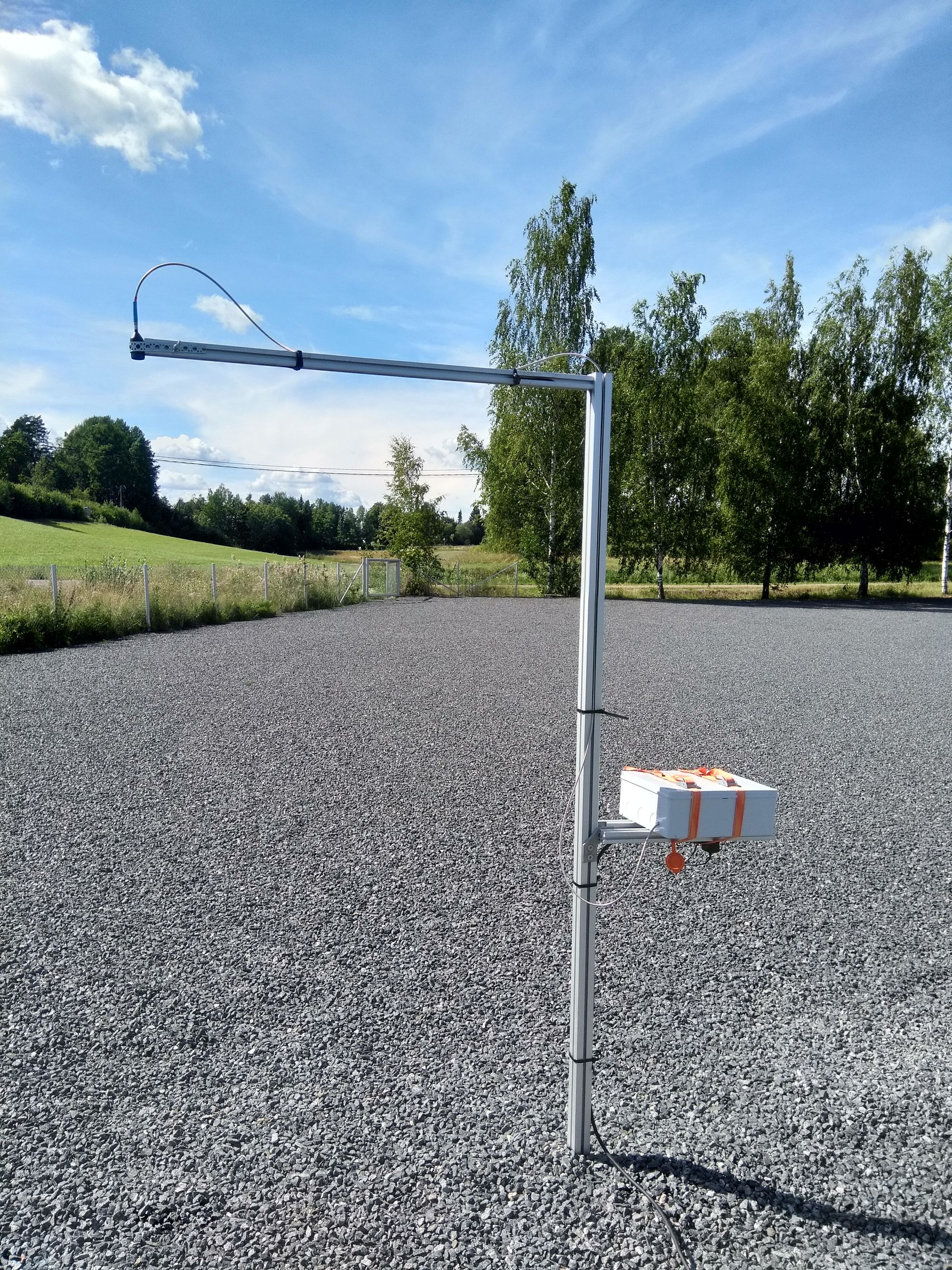
To perform absolute radiometric calibration, we use terrestrial reference targets, known as radiance calibration sites, to verify the accuracy of the satellite data. These sites are selected based on their known reflectance properties, and must large enough to be visible in the satellite imagery.
Once the reflectance properties of calibration sites have been characterized, we use specialized software to compare the radiance values measured by the satellite sensor with the known radiance values of the calibration sites. This allows us to determine the accuracy of the satellite data, and make any necessary adjustments to ensure that it is consistent and reliable.
Advantages
One of the key advantages of absolute radiometric calibration is that it allows us to compare satellite data from different sensors, platforms, and time periods. This is important, as it allows us to combine data from multiple sources, and create more accurate and comprehensive maps of the earth's surface.
By ensuring the consistency of satellite data, absolute radiometric calibration allows us to more accurately study and understand the earth's surface, and develop strategies to support the health and growth of ecosystems.
Applications
For example, calibrated satellite images can be used to assess the carbon sequestration potential of forests. By analyzing the density, type, and health of trees in a given area, we can estimate the amount of carbon that is being stored in these ecosystems. This information can then be used to develop strategies for protecting and restoring forests, which can help to increase carbon sinks and reduce the amount of CO2 in the atmosphere.
Absolute radiometric calibration can also be used to monitor changes in land cover and vegetation over time. By comparing satellite data from different time periods, we can track the growth and decline of forests, grasslands, and other ecosystems, and identify areas that are at risk of degradation. This information can then be used to develop strategies for protecting and restoring these ecosystems, which can help to improve biodiversity and support the health of the earth's vegetation.