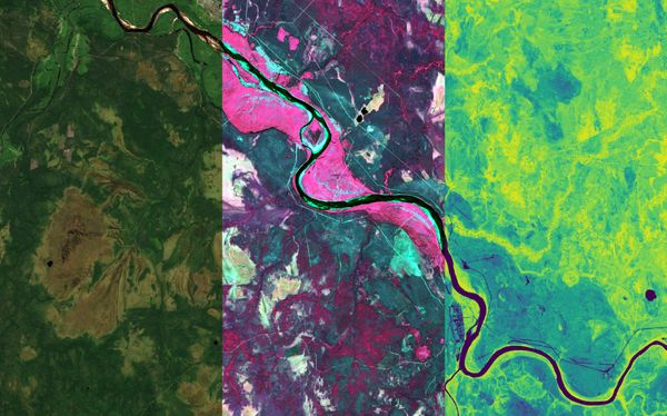
Earth observation Terramonitor Analysis Ready - 4 examples of use cases Terramonitor Analysis Ready product is a cloudless mosaic of preprocessed satellite data with 10-band multi-spectral data. The images used for mosaic are atmospherically corrected and radiometrically calibrated. The product is
Cooperation Monitoring Atmosphere Satellite data provides an opportunity to monitor the atmosphere. One satellite suitable for monitoring is Copernicus Sentinel-5P. This satellite enables atmospheric measurements and to map gases such as nitrogen dioxide,
Earth observation Cloud vs. Snow Clouds are always challenging in remote sensing unless you are especially interested in clouds and want them to appear in your satellite imagery. How about snow? It is also white
Forestry Deforestation in the Amazon Satellite data is a useful and effective tool to detect changes in the forest. For example, it can be used to analyze deforestation in the Amazon. Deforestation is an issue, especially in rain forests.
GIS 3D modeling with Terramonitor Combination of satellite image and elevation model brings new viewpoints to landscape. Terramonitor maps together with an elevation model enable simple 3D visualization.
Environment Natural disasters from the space Smoking forests, brown fields, flooding rivers... Extent of disasters may be difficult to understand from the Earth, but looking from the space situation seems different.
Cooperation How to estimate condition of forest roads? Terramonitor wants to collaborate with different educational institutions like universities. Here is an example about project work completed by students of Aalto University – Kamil Marwat, Marie Schoenmaekers and Juhani Heikkilä.
Cooperation Terramonitor featured in Sentinel Success Stories Terramonitor's change detection technology was developed and applied specifically for the forestry sector within the Finnish Government's logging detection key project.