Satellite images and type 1 diabetes

Type 1 diabetes is a chronic autoimmune disease that affects millions of people around the world. It occurs when the body's immune system mistakenly attacks and destroys the insulin-producing cells in the pancreas, resulting in a lack of insulin production and regulation of blood sugar levels.
One possible factor that may contribute to the development of type 1 diabetes is the type of land cover in an individual's living environment. Land cover refers to the physical material on the surface of the earth, including vegetation, water bodies, and built structures.
Research has shown that individuals who live in areas with low levels of green space, such as urban environments, may have a higher risk of developing type 1 diabetes. This may be due to a number of factors, including reduced exposure to natural environments and increased exposure to air pollution and other environmental toxins.
On the other hand, living in areas with high levels of green space, such as rural environments, may provide protective effects against the development of type 1 diabetes. This may be due to the presence of natural environments that support physical activity and healthy lifestyles, as well as the presence of vegetation that can filter air pollutants and provide other health benefits.
While more research is needed to fully understand the relationship between land cover and type 1 diabetes, it is clear that the type of environment we live in can have a significant impact on our health. It is important for individuals with type 1 diabetes, as well as those at risk for the disease, to consider the potential health effects of their living environment and make choices that support a healthy lifestyle.
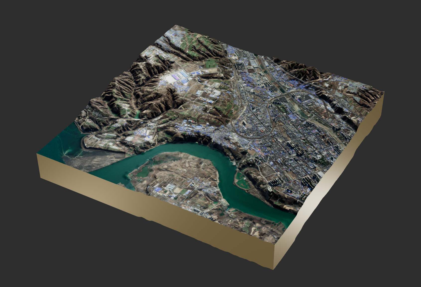
Satellite image analysis is a powerful tool for studying and understanding the earth's land cover. By using satellite imagery, researchers can identify and classify different types of land cover, such as forests, grasslands, urban areas, and water bodies.
Satellite image analysis is a critical component of land cover mapping, which is the process of creating detailed maps of the earth's surface. These maps provide valuable information about the distribution and characteristics of different types of land cover, and are used in a variety of fields, including environmental science, geography, and urban planning.
One of the key advantages of satellite image analysis is its ability to provide a broad, regional perspective on land cover. Unlike traditional ground-based methods, which are limited by the time and resources required to collect data, satellite imagery can cover large areas quickly and accurately. This allows researchers to study land cover patterns and trends at a global scale, providing valuable insights into the dynamics of the earth's surface.
Satellite image analysis also has the potential to support the development of more sustainable land use practices. By providing detailed information about land cover, satellite imagery can help land managers and policy makers identify areas that are at risk of degradation, and implement strategies to protect and restore these areas.
Overall, satellite image analysis is a valuable tool for studying and understanding land cover, and has the potential to support a range of important applications in environmental science and land management.
read more: hedimed.eu