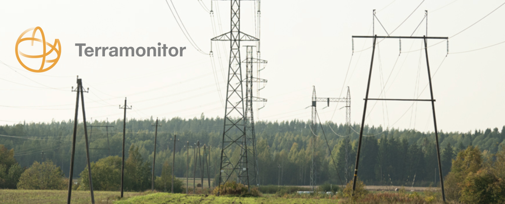
Electricity grid monitoring using satellite images

Power line vegetation management is the process of controlling the growth of vegetation near power lines, to ensure the safe and reliable operation of these critical infrastructure systems. This is an important aspect of maintaining the power grids, as vegetation that grows too close to power lines can interfere with the flow of electricity, and cause power outages and other problems.
One of the key challenges of power line vegetation management is that it requires a comprehensive and detailed understanding of the power line network and the vegetation that grows near these lines. To effectively manage vegetation near power lines, utility companies must be able to identify areas where vegetation is growing too close to the lines and develop strategies for controlling this growth.
One common method for power line vegetation management is the use of herbicides. By applying herbicides to the vegetation near power lines, utility companies can prevent or slow the growth of this vegetation, and reduce the risk of interference with the power line system. This can be an effective method for controlling vegetation growth, but it can also have potential environmental impacts and must be carefully managed to ensure that it does not cause harm to other ecosystems.
Another approach to power line vegetation management is the use of mechanical methods, such as mowing or trimming. By using specialized equipment, utility companies can physically remove vegetation that is growing near power lines, and prevent it from interfering with the flow of electricity. This can be an effective method for controlling vegetation growth, but it can also be labor-intensive and may require regular maintenance to ensure that the power line network is clear of vegetation.
Satellite imagery is an important tool for power line monitoring, as it allows us and utility companies to quickly and accurately assess the condition of power lines, and develop strategies for maintaining and improving these critical infrastructure systems.
One of the key advantages of using satellite imagery for power line monitoring is that it provides a comprehensive overview of the power line network. By collecting high-resolution images of the earth's surface, we can create detailed maps of the power line network, which can then be used to identify potential issues, such as vegetation growth, damage, or other problems that may impact the reliability of the power line system.
Another important benefit of using satellite imagery for power line monitoring is that it allows us to monitor changes in the power line network over time. By comparing satellite images from different time periods, we can track the evolution of the power line network, and identify areas that are at risk of problems. This information can be used to prioritize maintenance and repair efforts and develop strategies for improving the reliability of the power line system.
Satellite imagery provides a comprehensive overview of the power line network and the vegetation that grows near these lines. By collecting high-resolution images of the earth's surface, we can create detailed maps of the power line network, which can then be used to identify areas where vegetation is growing too close to the lines. This information is valuable for developing strategies for controlling vegetation growth, as it allows utility companies to prioritize their efforts, and focus on areas where vegetation poses the greatest risk to the power line system. This information can be used to adjust vegetation management strategies and ensure that the power line network is protected from the potential impacts of vegetation growth.