Terramonitor Feed
  • < Back to terramonitor.com
  • Space Data
  • Research
  • Cooperation
Sign in Subscribe

AI

A collection of 4 posts
VESA Index technology
Forestry

VESA Index technology

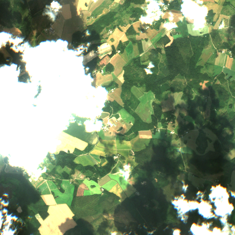
Terramonitor has developed a machine learning based mapping service,  which locates harmful shrubs in boreal forests. The service provides valuable information for forest professionals about growth states of forests. 
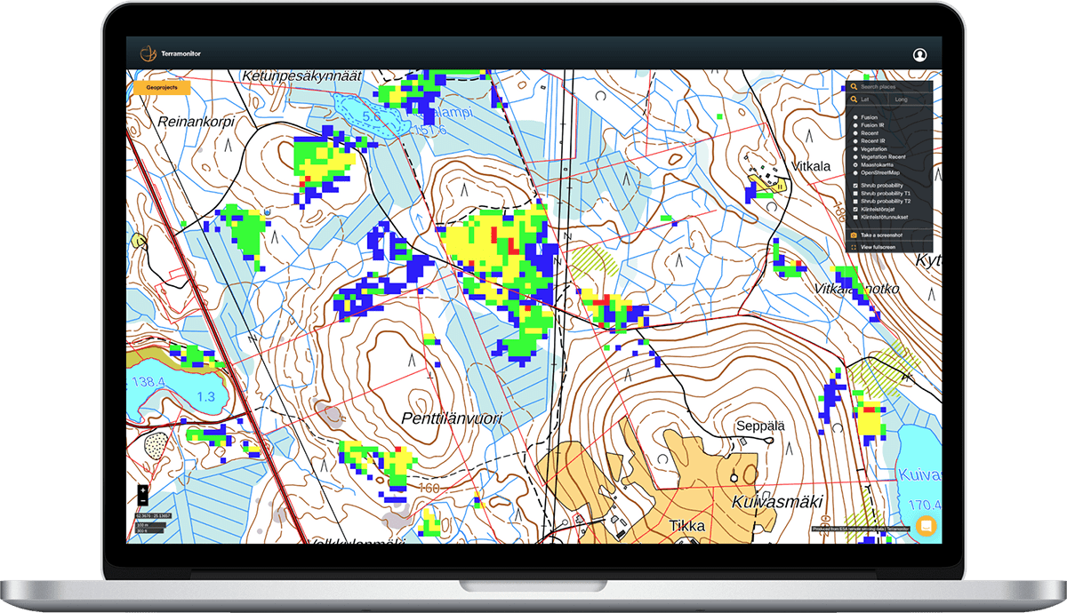
The maps of Terramonitor’s VESA index help forest professionals for fast, easy and financially prudent shrub maintenance. Region-specific maps point
Apr 20, 2020 3 min read
Satellite mosaic validation by Terramonitor Labs
AI

Satellite mosaic validation by Terramonitor Labs

Let's say you have a Sentinel-2 satellite image mosaic over a large area, for example Russia. The image is supposed to represent the surface reflectance of the area. How do you know if the pixel values are actually correct and that the atmospheric correction and the radiometric normalization
Feb 28, 2020 3 min read
If algorithms could talk, part 1
Earth observation

If algorithms could talk, part 1

Currently thousands of earth observation satellites are sending data to the surface around the clock. My goal is to make the most out of that data. This story is about one of my recent projects. In the following example case, the goal was to produce a cloudless view of a
Apr 25, 2019 2 min read
Finnish Space Data Company Terramonitor Released a Finland-Wide VESA Index for Shrub Detection​
AI

Finnish Space Data Company Terramonitor Released a Finland-Wide VESA Index for Shrub Detection​

Terramonitor, a space economy forerunner, released VESA Index, the most extensive artificial intelligence shrub detection service in Finland.
Apr 17, 2019 1 min read
Page 1 of 1
Terramonitor Feed © 2025
Powered by Ghost