Terramonitor Feed
  • < Back to terramonitor.com
  • Space Data
  • Research
  • Cooperation
Sign in Subscribe

Mapping

A collection of 3 posts
Satellite images, to see or not to see
Space Data

Satellite images, to see or not to see

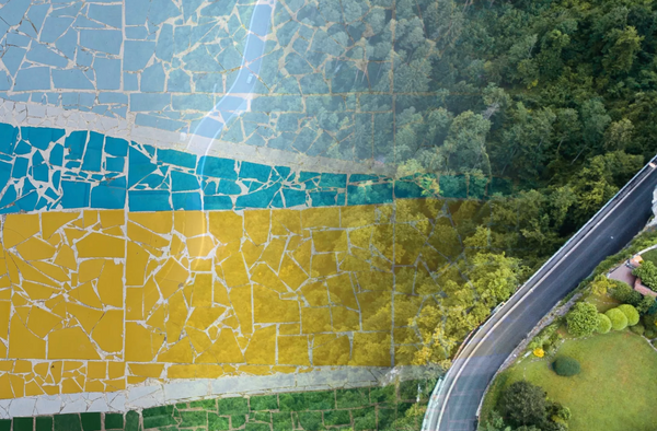
Usually talking about earth observation we talk about optical satellite images similar to our family photos. On top of these optical images, satellite data can be produced with other bands such as synthetic aperture radar, also known as SAR or by using several different bands for example to detect heat,
Apr 4, 2021 3 min read
Satellite mosaic validation by Terramonitor Labs
AI

Satellite mosaic validation by Terramonitor Labs

Let's say you have a Sentinel-2 satellite image mosaic over a large area, for example Russia. The image is supposed to represent the surface reflectance of the area. How do you know if the pixel values are actually correct and that the atmospheric correction and the radiometric normalization
Feb 28, 2020 3 min read
Finnish Space Data Company Terramonitor Released a Finland-Wide VESA Index for Shrub Detection​
AI

Finnish Space Data Company Terramonitor Released a Finland-Wide VESA Index for Shrub Detection​

Terramonitor, a space economy forerunner, released VESA Index, the most extensive artificial intelligence shrub detection service in Finland.
Apr 17, 2019 1 min read
Page 1 of 1
Terramonitor Feed © 2025
Powered by Ghost