Supporting ecosystems using satellite images

Forests are essential in maintaining healthy ecosystem interaction and biodiversity on Earth. They are in a key role in the fight against climate change since they can restore increasing carbon stocks. Hence, several national and international initiatives (including the UNFCCC Paris Agreement and the EU LULUCF Regulation) require regular reporting of forest biomass and carbon. Robust, reliable and transparent monitoring approaches of forest biomass and carbon are needed to respond to reporting requirements.
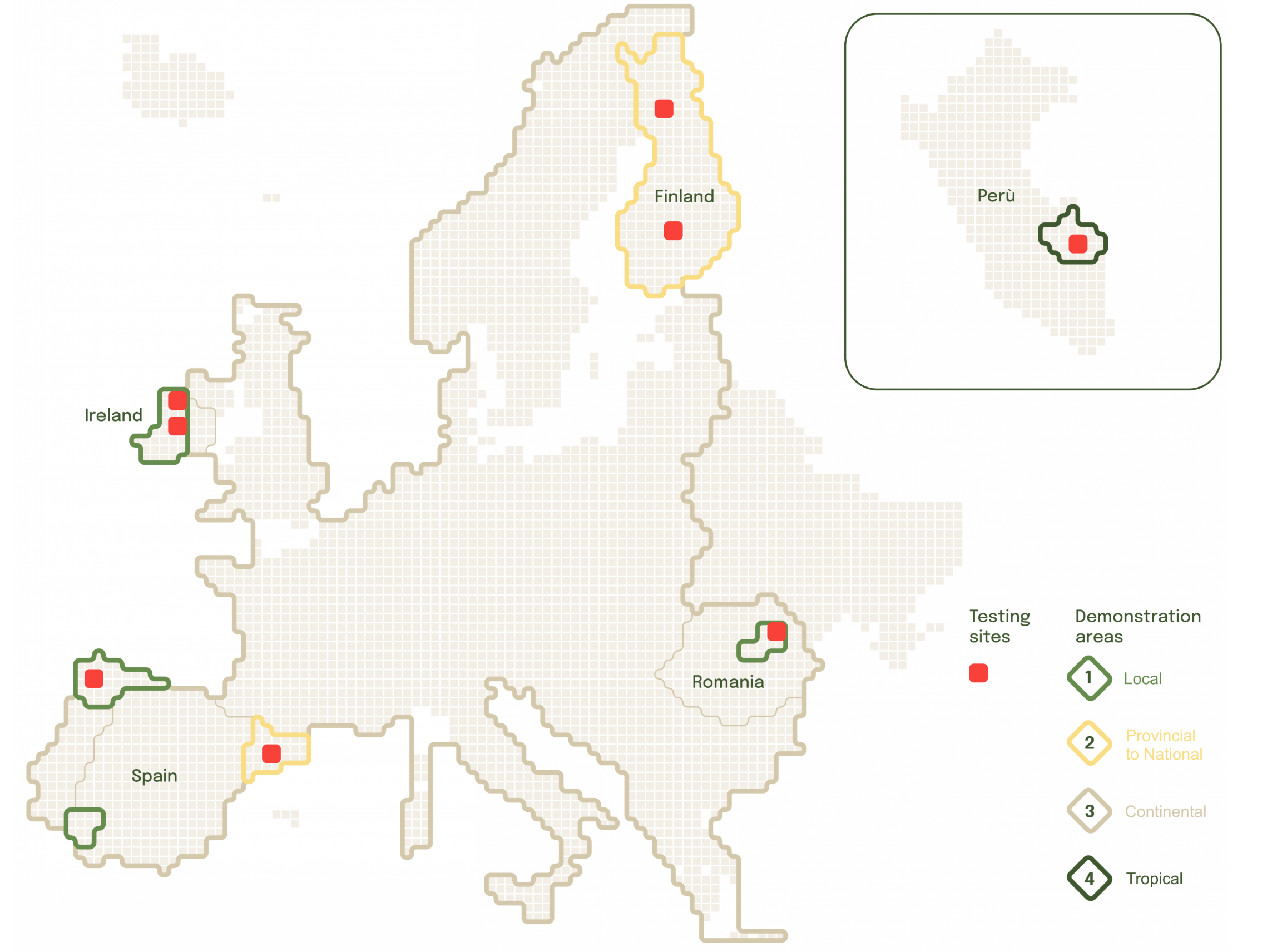
Terramonitor provides calibrated satellite images for the Forest Carbon Monitoring project, which will develop and implement a prototype of a reliable and cost-efficient monitoring and accounting platform for forest carbon stock based on satellite remote sensing approaches supported by in-situ datasets. Read more

