Climate change mitigation using satellites

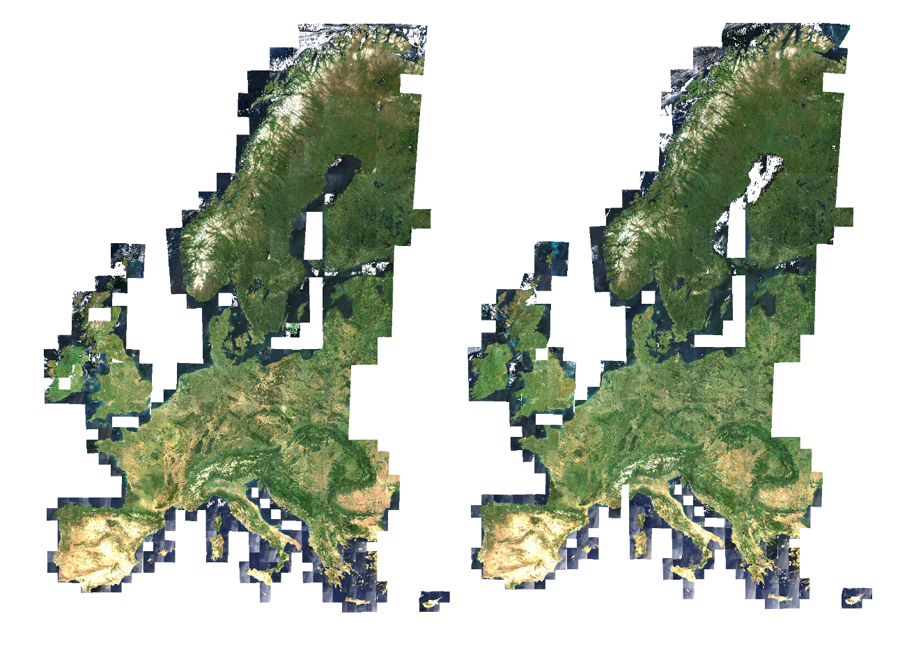
Forest biomass and carbon monitoring play a key role in climate change mitigation. Operational large area monitoring approaches are needed to enable forestry stakeholders to meet the increasing monitoring and reporting requirements. Terramonitor provided calibrated satellite images for a scientific research project carried out with VTT Technical Research Centre of Finland, University of Helsinki and Simosol. The project demonstrated the functionality of a cloud-based approach utilizing Sentinel-2 composite imagery and process-based ecosystem model to produce large area forest volume and primary production estimates. Read more

