Our Story
Terramonitor's mission is to make space data reachable for anyone, anywhere and anytime.

Two friends, Joni Norppa and Lauri Häme, participated in a research project about the utilization of satellite images in 2015. We noticed that huge amounts of satellite data is produced daily but only a fraction of it is utilized. In the past, satellite data has been mainly used for research purposes, and so we asked ourselves why is it not being used more broadly? The answer was surprisingly simple; the use of satellite data was considered challenging, expensive and difficult. The biggest challenges are the enormous amounts of data, the availability of satellite imagery, the complex processing, and the low-level of knowledge about space technology.
During 2016, we considered which industries would benefit most from the efficient use of satellite imagery. We came up with the idea to monitor forestry by utilizing satellite images - and we received funding from the Finnish government for the project.
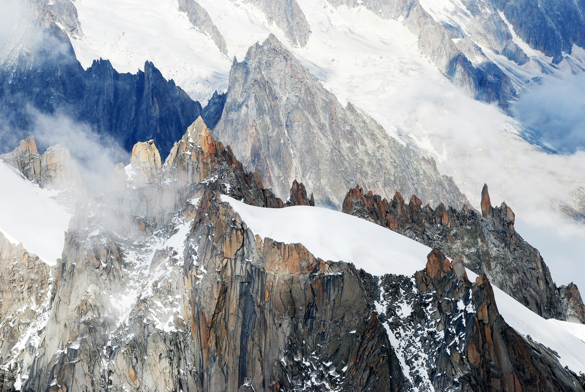
At the beginning of 2017, the idea of democratizing satellite data was born. We want satellite data to be accessible for everyone. By utilizing open-source satellite images and big data, we are be able to create new information. The importance of satellite data for tracking and analyzing global changes is significant. Without up-to-date satellite data, it would be impossible to see and understand what is happening to the globe. The European Space Agency's (ESA) satellites scan the earth twice a week. The current spend for ESA Copernicus-satellite data collection program is over 5 billion euros. But what is the benefit of launching these satellites to space if the data is not put to work?
The past few years have been a major learning experience, and we’ve become experts into handling satellite data very efficiently. Our spatial perception was put to the test when almost all the satellite images were cloudy and processing them was slow. We wanted to solve the viewability and processing-time with a solution based artificial intelligence. We are able process huge amounts of satellite data in a way that it generates cloudless, updating, scalable and comprehensive data from anywhere on the globe. We see satellites as a tools, and satellite data as raw material. The information we produce is the cake we bake.
Today we are launching Terramonitor, the world's first unified and up-to-date, global, enriched map produced by artificial intelligence. Terramonitor can be integrated into existing map services. We've created a map monster that contains over 100 million streaming images that updates automatically every day. This way we can always provide our customers an up-to-date view of the globe we live in. We have now reached our first step in the process of democratizing space data. With our service, businesses and organizations can take advantage of space data in their browser or by integrating Terramonitor to their own systems. The goal is to help companies and individuals make better decisions.
Next, we will focus on developing the service together with our customers, continuing and expanding our mission to make space data accessible for anyone. We want to have a positive impact on the world we live in and that's why we want to Terramonitor for free to non-profit organizations.
Lets make some space!