Carbon sequestration and satellite images

Carbon sequestration in forests is an important factor in the fight against climate change. Trees absorb CO2 from the atmosphere through the process of photosynthesis, and then store it in their leaves, branches, and roots. This helps to reduce the amount of CO2 in the atmosphere, and can also provide other benefits, such as improving air and water quality, and providing habitat for wildlife.
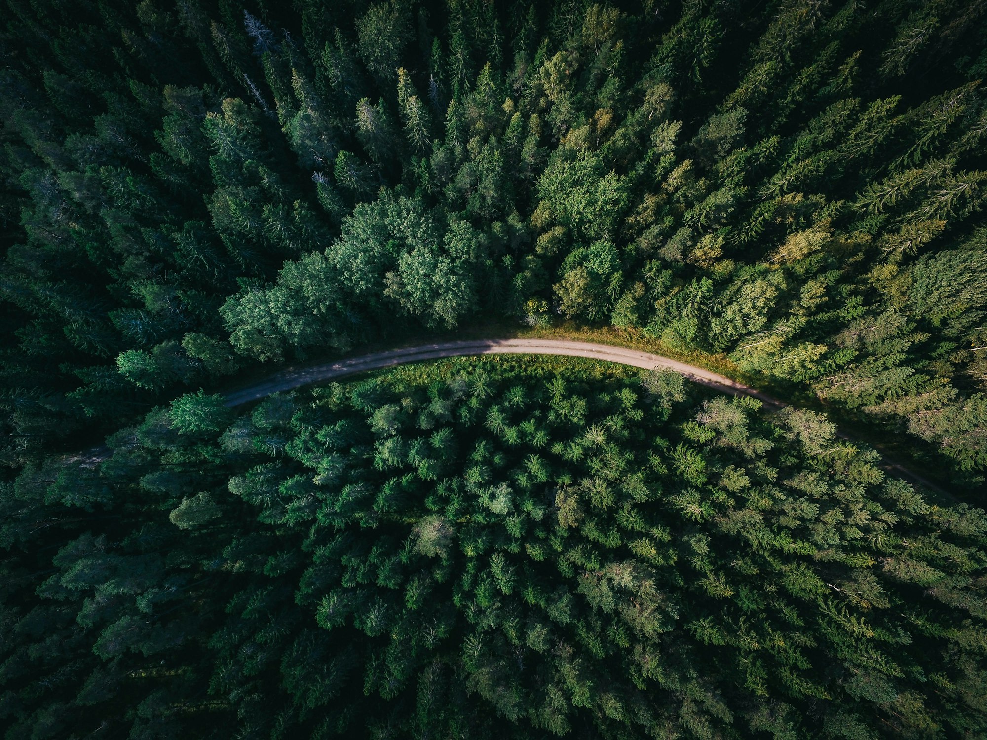
One of the challenges in studying carbon sequestration in forests is the need to assess the amount of carbon that is stored in these ecosystems. This is where satellite imagery comes in. By using high-resolution satellite images, it is possible to create detailed maps of forest cover, which can then be used to estimate the amount of carbon stored in these areas.
Satellite imagery can also be used to monitor changes in forest cover over time. By comparing images from different time periods, we can track the growth and decline of forests, and assess the potential impact of these changes on carbon sequestration.
Overall, satellite imagery is a valuable tool for studying and understanding carbon sequestration in forests. By providing detailed information about forest cover, satellite images can help researchers and land managers better understand the role of forests in mitigating climate change, and develop strategies to support the continued health and growth of these ecosystems.
Read more: forestcarbonplatform.org