Satellite images, to see or not to see
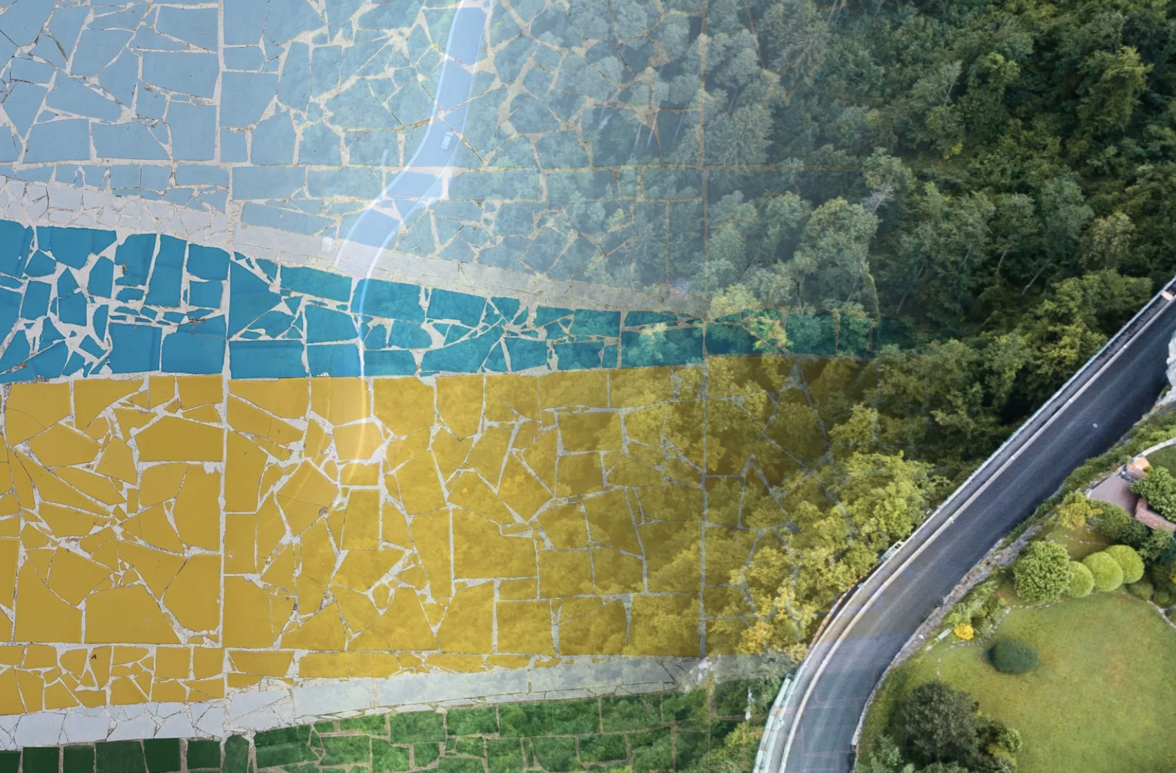
Usually talking about earth observation we talk about optical satellite images similar to our family photos. On top of these optical images, satellite data can be produced with other bands such as synthetic aperture radar, also known as SAR or by using several different bands for example to detect heat, atmospheric changes or analyse nature. Maybe the most technologically advanced thing is that these images are usually taken from several hundred kilometres away, its like taking a photo of Paris from Berlin.
Space data processing can be complex, here we’ll try to explain a few basics.
Optical images are usually like regular photos that you can take with your camera or mobile device. These images show as the combination of red, green and blue bands but these optical instruments can also include bands that human-eye can’t recognize. Usually talking about accuracy people mean the spatial resolution of the images, meaning how big is one pixel in the image. In satellite terms very high-resolution means under one-meter spatial resolution, with this, you can recognize single trees or maybe even car brands based on shapes. Accuracy is also something else then how small or big the pixels are. Temporal accuracy means the availability of the images, how often new images can be acquired and radiometric resolution means the quality of the data. Which is the best quality measurement? Well, it depends on the use case and your needs. Sometimes you need a very sharp image to check for example the stage of the construction yard by human eye, then again analysing the health of the crop field requires the use of the satellite bands that the human eye doesn’t see and possible series of high radiometric quality images.
One of the most used is near-infrared bands (NIR) that are used for detecting changes for example in vegetation. Here is an example of the same image in natural mode and as false colour. The false-colour images are often used for example to identify tree and crop field species.
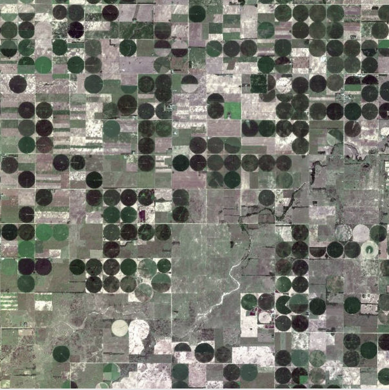
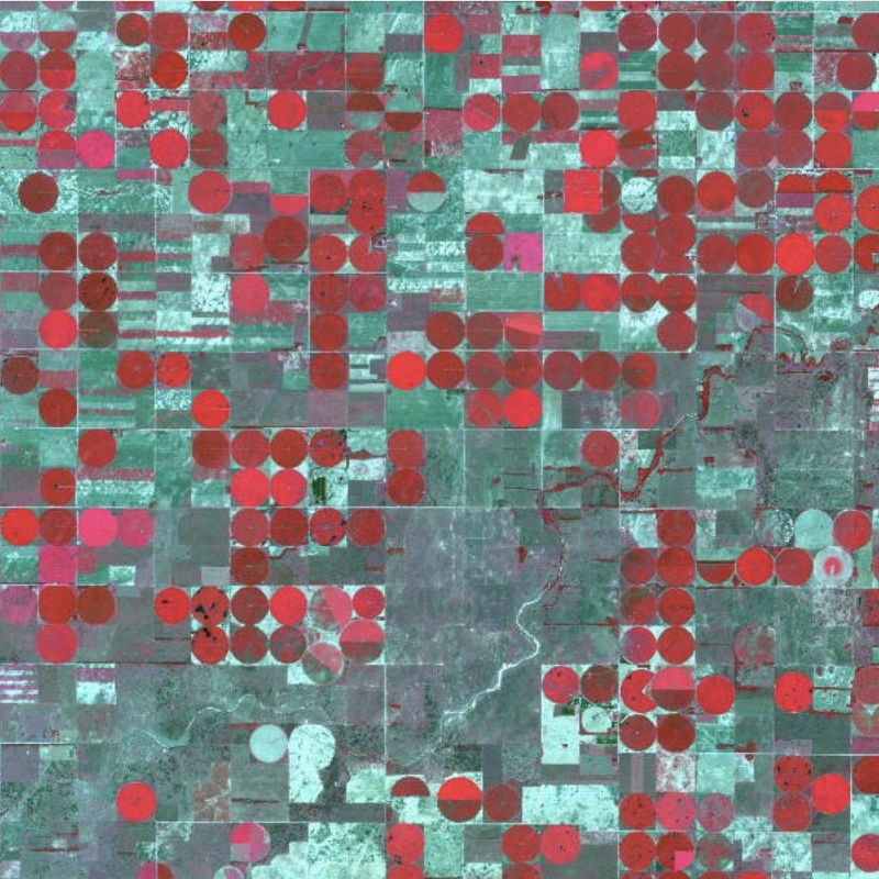
Utilising and colouring the bands that the human eye doesn’t distinguish differently we can also analyse for example the intensity of the vegetation to check if there are changes in growth such in this image pair.
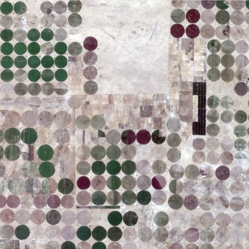
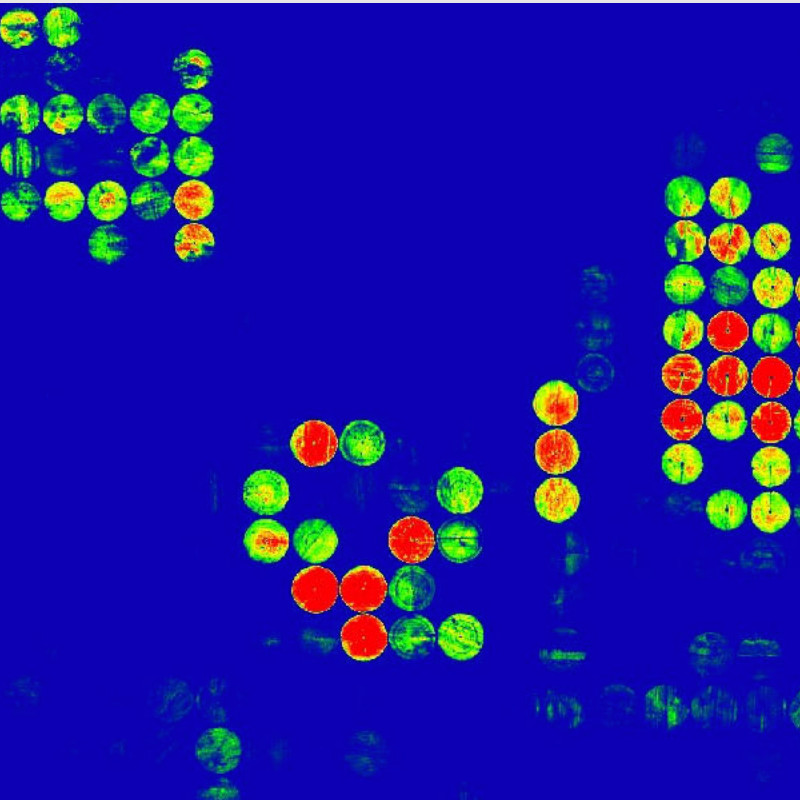
So the optical images show the reflections of the different bands, the ones you can see by your own eyes and the ones that you don’t see that need to be generated as visible. On another hand, there is a lot of radar-based technology in satellites as well called SAR. These satellites transmit radio waves that bounce off the earth's surface, objects, and nature differently depending on both the wavelength and the stimulus they encounter. By sensor technology and computing we can.
This allows us to "colour" the image based on this wave. The SAR wave also passes through most atmospheric barriers and can therefore even see through the clouds. It’s a bit like an X-ray that sees the bones under the human skin. Below is an example of fields from a Finnish Iceye satellite.
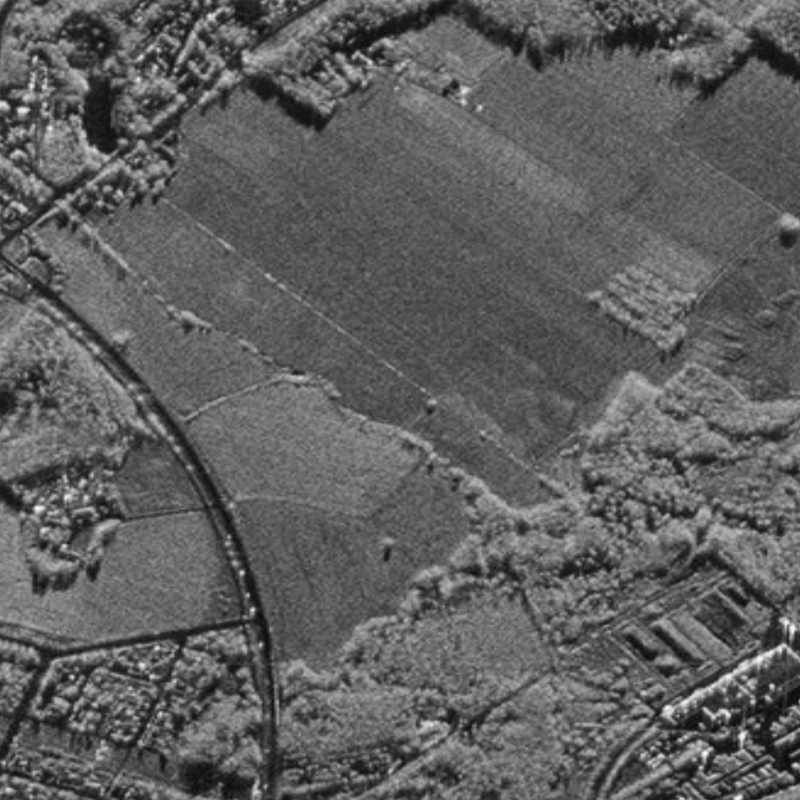
There are many phases in the process of utilising these images such as acquiring, pre-processing, geocorrection, atmospheric correction and mosaicing the images. Our duty is to make this process easy to access and enable you to see the use of satellite images the way you want it. Interested+ Take a look at the different types of satellite images from our site, we’re more than happy to help you in all matters concerning Space Data: https://www.terramonitor.com/services/image-services
Best regards
Team Terramonitor
contact@terramonitor.com

